
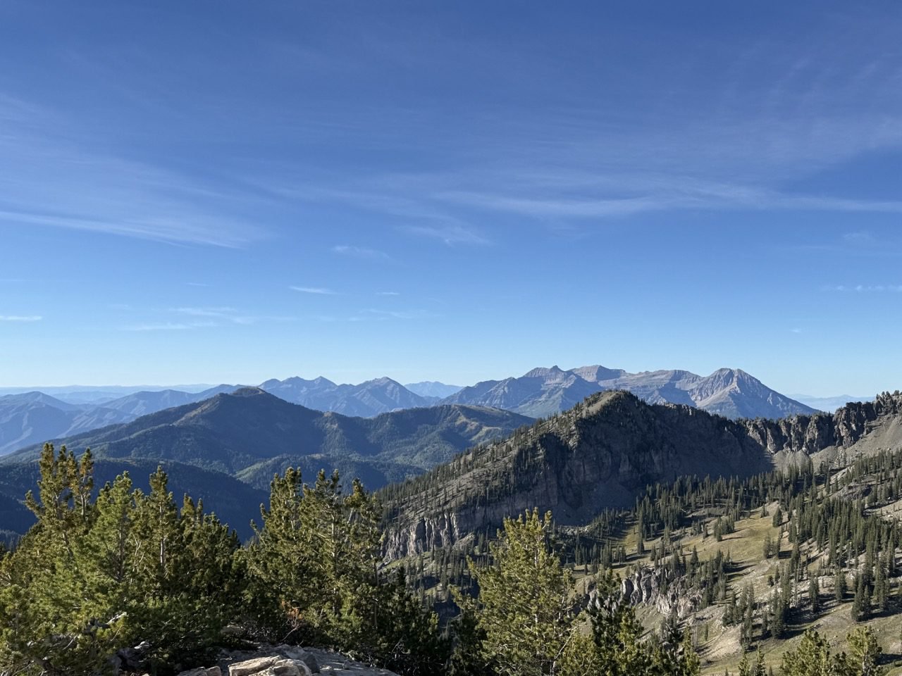
Wasatch Mountains · Moderately Hard Trails
A Real Workout
Steep stretches and steady elevation — you’ll be glad you wore the good shoes.
These are the hikes that ask something of you — nothing technical, nothing scary, but a steady climb that’ll have you pausing to catch your breath and pretending you’re admiring the scenery.
Most run between two and five miles round trip with around a thousand to sixteen hundred feet of elevation gain. These climb steadily the whole way up, so come reasonably conditioned, take it slow, and let the view be the reward rather than the clock.
Bring more water than you think you need, wear real shoes, and give yourself the whole morning.
Trails in This Guide
Seven Good Climbs
From Provo to Little Cottonwood to American Fork Canyon — all within easy reach of the Wasatch Front.
Miles Round Trip
Half a Morning
Short enough to be done before lunch, long enough that you’ll feel it the next day.
Max Elevation Gain
Steady Up
Expect roughly 1,100 to 1,600 feet of climbing — the kind that’s constant rather than brutal.
The Lineup
Seven Trails Worth the Sweat
Distances and elevation gain are round-trip figures. Times are a comfortable moving pace with a few stops — adjust for little legs, big dogs, and long photo breaks.
01 — American Fork Canyon
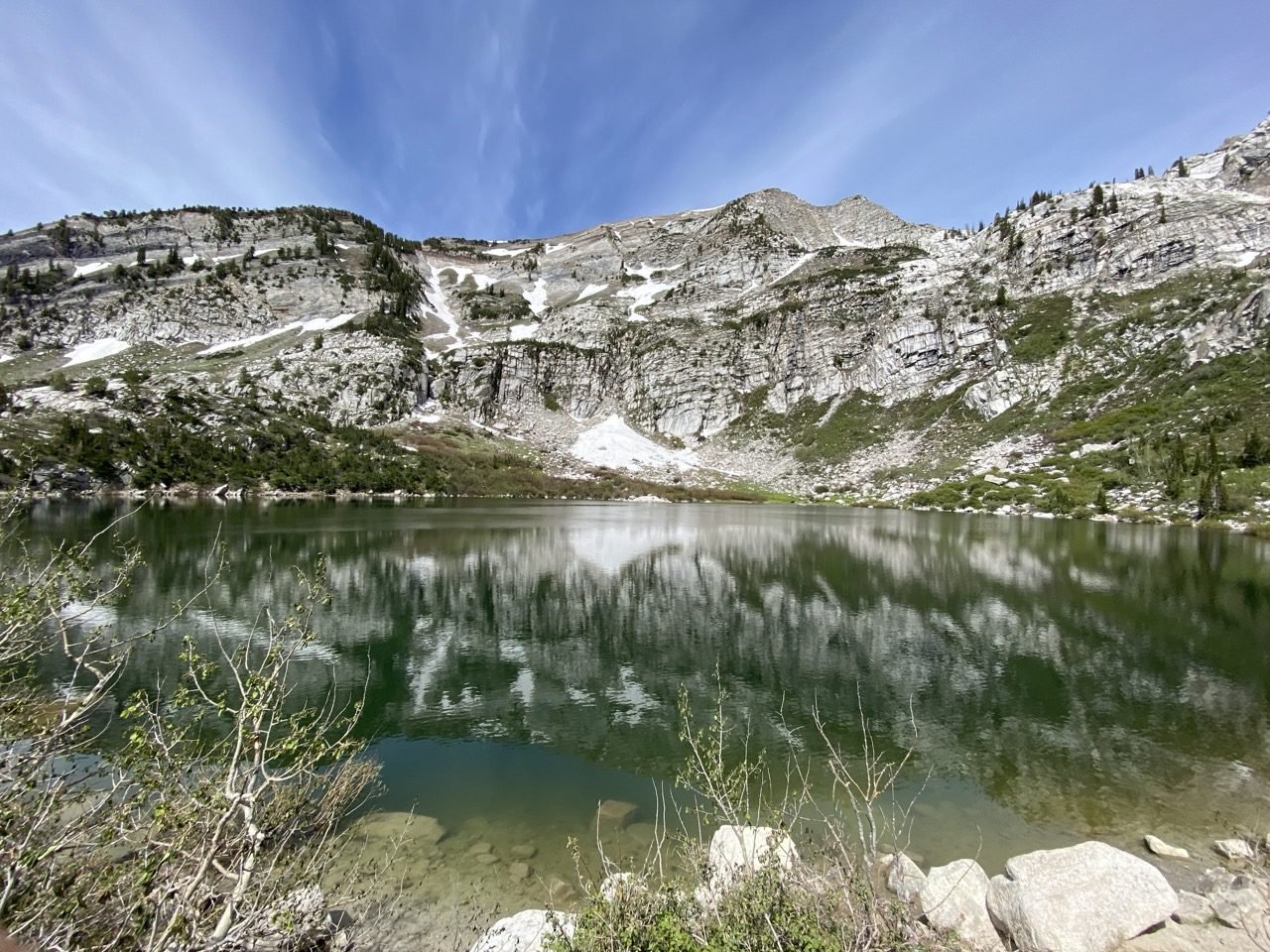
Silver Lake (AF Canyon)
A steady climb up to a true alpine lake tucked under the ridgeline, and the views are breathtaking the entire way — not just at the top. The road to the trailhead is bumpy enough to be part of the adventure, but leave the low-clearance car at home.
The lake itself is the kind you’ll want to sit beside for a while. You can swim in it, but fair warning: sitting at 9,300 feet, the water is very cold.
02 — Sandy
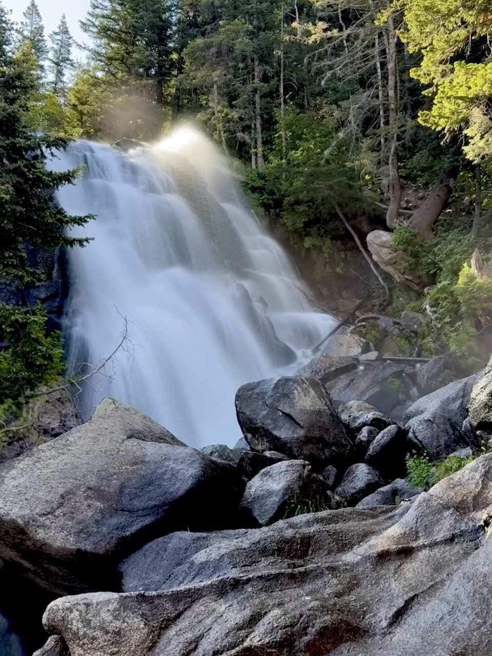
Bell Canyon Lower Falls
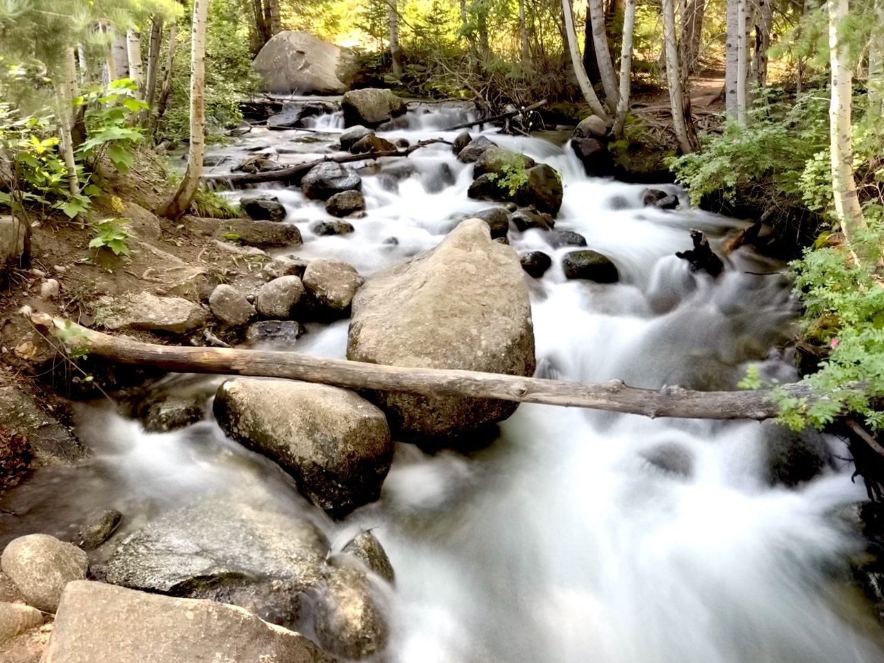
Bell Canyon Lower Falls makes you work for it. You climb past the lower reservoir — worth a stop on its own — and then find yourself in a wooded haven where a stream struts its beauty every step of the way.
The last half mile is the intense part, a real grind right when your legs are already asking questions. The waterfall at the top makes every bit of it worth it.
03 — Alpine
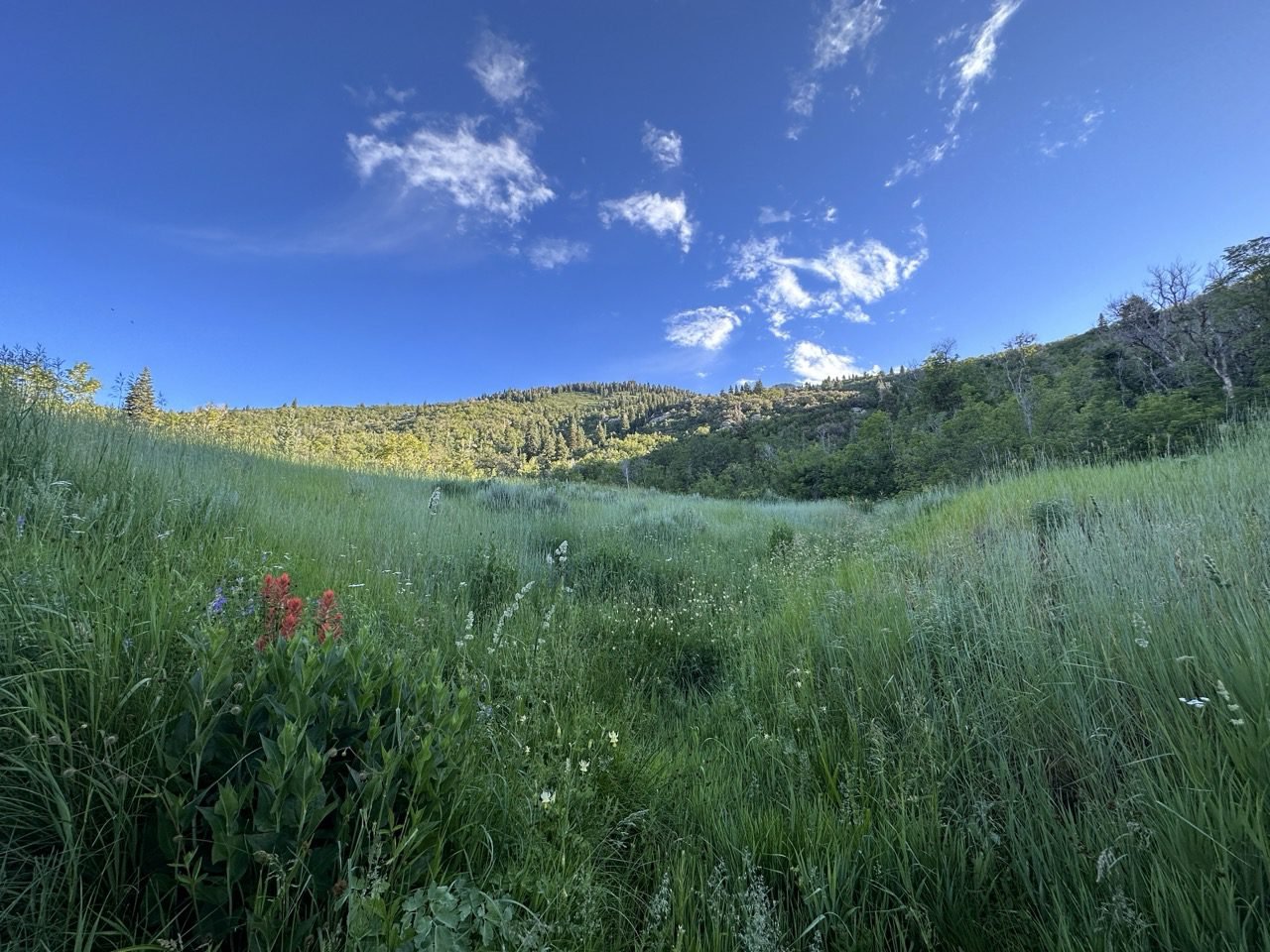
First Hamongog
A steady grind up to a wide, grassy meadow sitting right beneath Lone Peak — the kind of place that feels much further from the city than it actually is. Plenty of hikers turn around here; plenty more continue on to Second Hamongog, Lake Hardy, or even Bighorn Peak.
04 — Albion Basin
Sunset Peak via
Catherine’s Pass
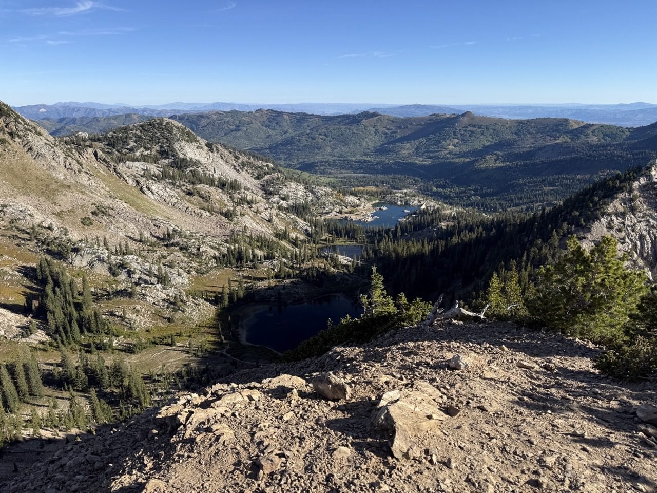
A gentle start through wildflower meadows to Catherine’s Pass, then a steeper push to the summit — where you’re looking down into three different valleys and four alpine lakes at once: Silver Lake (the Brighton one), Lake Mary, Lake Martha, and Lake Catherine. One of the best payoff-to-effort ratios in the Wasatch.
05 — Alpine
Horsetail Falls
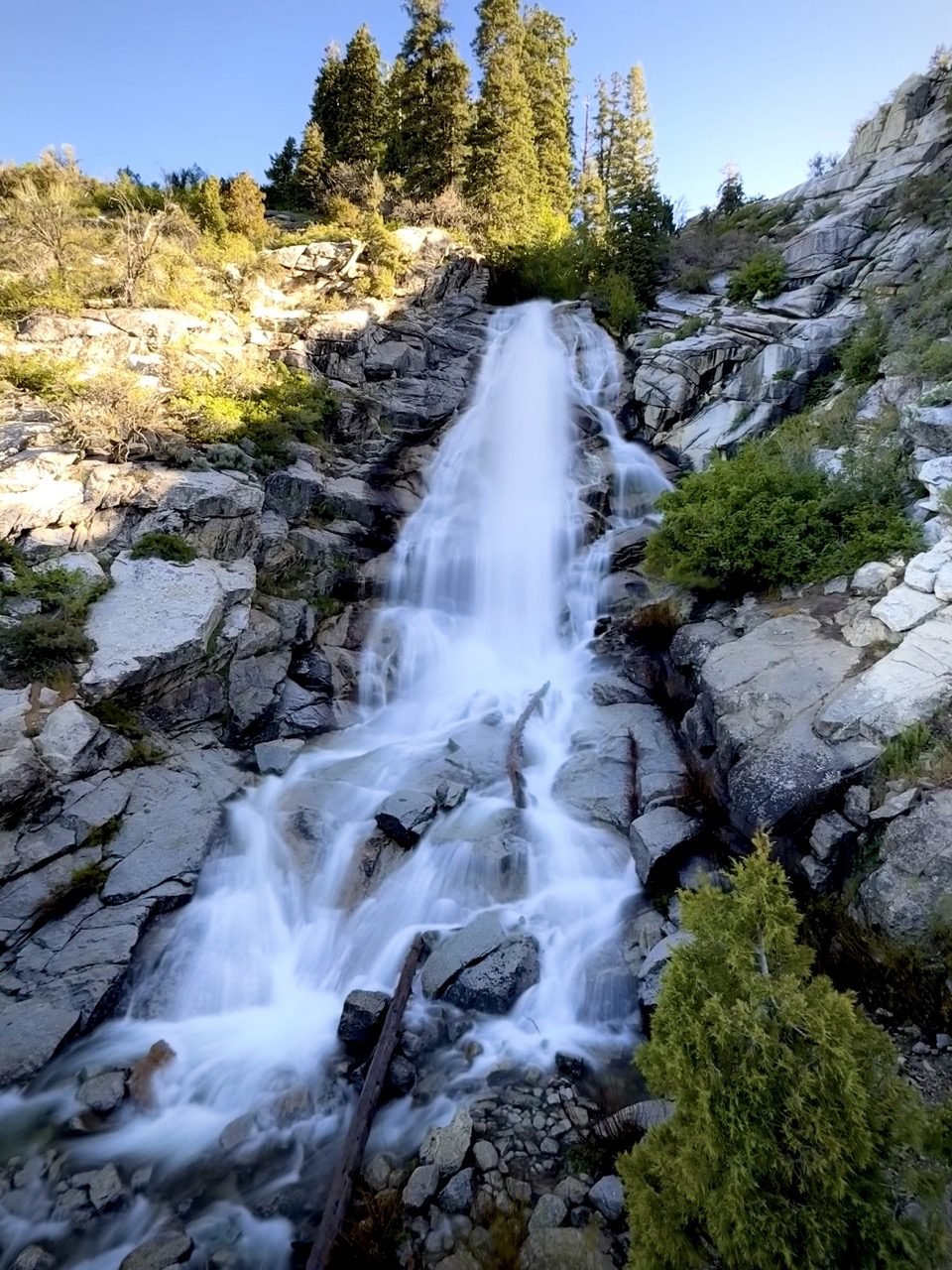
The most elevation gain on this list, and a hike to be taken seriously. There are only a few breaks in the climb, so take your time — and take comfort in the fact that the trail is mostly shaded after the first quarter mile, which counts for a lot when you’re working this hard.
The waterfall at the top, which when it’s roaring really does look like a horse’s tail, is worth all of it. Start early to beat both the crowds and the rattlesnakes.
06 — American Fork Canyon
Pittsburg Lake
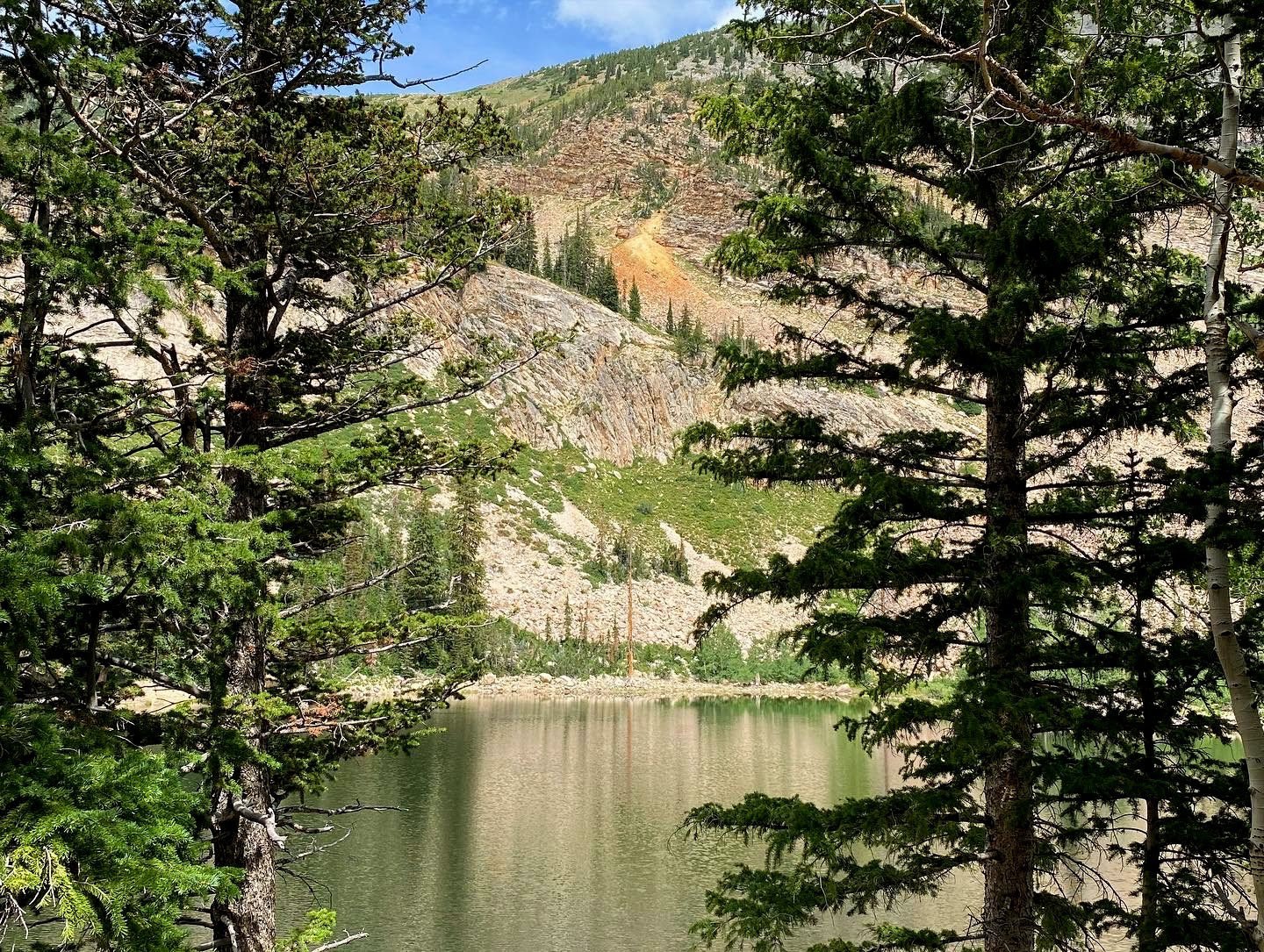
The steepest grade per mile on this list — over 1,500 feet in about a mile and a half of climbing — and the footing makes it feel steeper still, with loose rock underfoot for much of the early going.
It pays off fast, though. Within minutes you’re looking out over Mineral Basin and the peaks ringing it. Near the top the trail slips into a beautiful aspen grove, then opens into a wide meadow sprawling with wildflowers, before finally delivering you to the lake.
07 — Provo
The Y
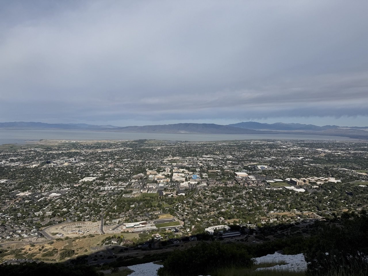
The shortest hike on this list and the steepest for its length — a series of switchbacks straight up the hillside to the big white block letter above BYU. Short, relentless, and worth it for the view over Utah Valley.
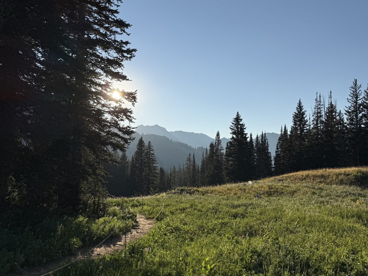 Worth every switchback.
Before You Go
Good to Know
Start Early
Trailhead lots on this list fill up fast on summer weekends, and most of these trails have long stretches with no shade. An early start buys you a parking spot, cooler air, and a quieter trail.
Check Fees & Rules
American Fork Canyon charges a recreation fee, and the Little Cottonwood watershed trails have their own restrictions — including on dogs. Check the current rules for your trailhead before you load the car.
Bring More Water
A thousand-plus feet of climbing at Wasatch elevation drains you faster than the mileage suggests. Plan on more water than a flat hike of the same distance — and a snack for the top.
Mind the Season
Higher trails like Sunset Peak and Pittsburg Lake hold snow well into early summer, and the access roads open late. Waterfall hikes are at their best during spring runoff.
Ready for the Next Level?
If these left you wanting more, the next tier up trades the steady climb for a serious one — longer days, bigger elevation, and summits that genuinely feel earned.
And if this was a little more than you bargained for, there’s no shame in dropping back down a notch. Every trail on the easier lists still ends somewhere beautiful.
See All Wasatch Trails →