
Wasatch Mountains · Hard Trails
Earn the View
A serious effort with a serious payoff — the kind of trail where the summit feels like a reward.
These are the big-day hikes — the ones you plan the night before, pack a real lunch for, and talk about on the drive home. Nothing here is technical, but every trail climbs hard and keeps climbing, and you’ll feel every one of those feet the next morning.
Expect six to ten miles round trip with two to nearly three thousand feet of elevation gain. If the “A Real Workout” trails felt good, you’re ready for these. Start early, pace yourself, and save some legs for the way down.
Trails in This Guide
Six Big Payoffs
Alpine lakes, high meadows, and summits from the Cottonwood canyons to Provo — all a short drive from the Wasatch Front.
Miles Round Trip
A Full Morning
Plan on three and a half to five hours on the trail — more if you linger at the top (and you will).
Max Elevation Gain
Serious Climbing
Roughly 2,000 to 2,800 feet of gain — sustained, steep in places, and absolutely worth it.
The Lineup
Six Trails That Make You Work for It
Distances and elevation gain are round-trip figures. Times are a steady moving pace with a few stops — add extra for lunch at the top, photo breaks, and tired legs on the descent.
01 — Big Cottonwood Canyon
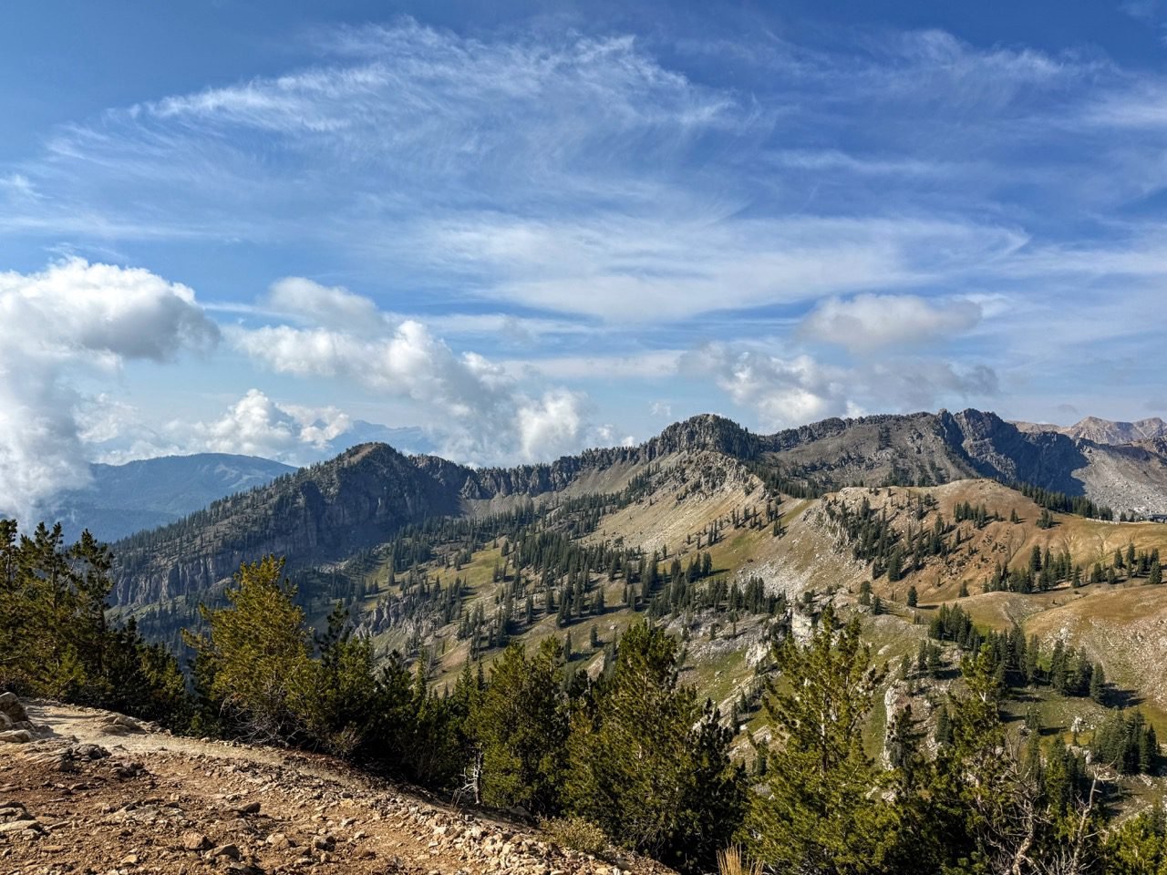
Sunset Peak via Brighton Lakes
The longer way to a familiar summit — starting at Brighton and climbing past a string of alpine lakes (Mary, Martha, and Catherine) before topping out at Catherine’s Pass and pushing up to the peak. More miles, more lakes, and a view that stretches across both Cottonwood canyons.
02 — Alpine
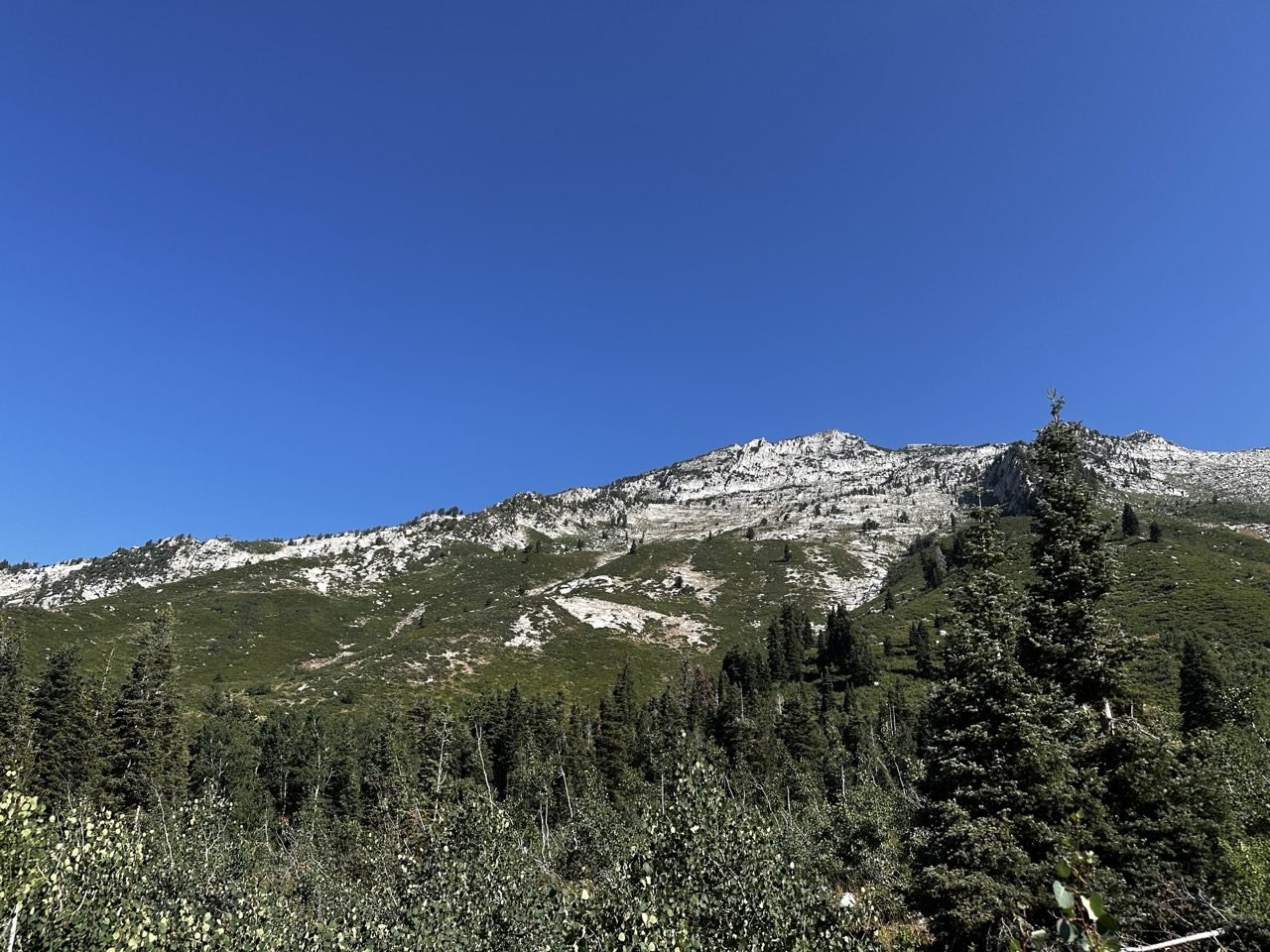
Second Hamongog
Where First Hamongog stops, this one keeps going — past the first meadow and higher into the Lone Peak Wilderness to a second, quieter meadow tucked closer under the granite cirque. Fewer people, bigger rock, and the feeling that you’re really in the mountains now.
03 — Little Cottonwood Canyon
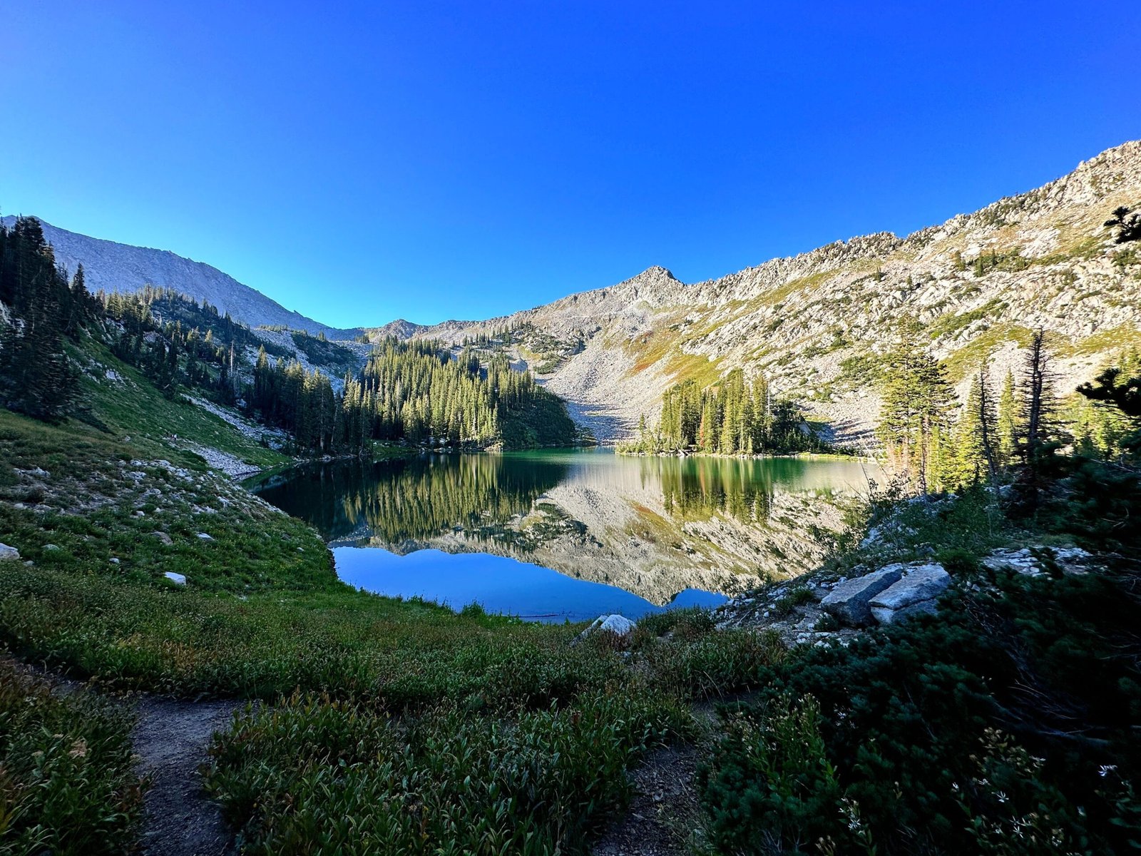
Red Pine Lakes
A shaded forest climb that wraps around the ridge with long views back down Little Cottonwood Canyon, ending at a clear, deep-blue lake beneath the Pfeifferhorn. It’s steady rather than punishing, and the lake is one of the prettiest spots in the canyon.
04 — Big Cottonwood Canyon
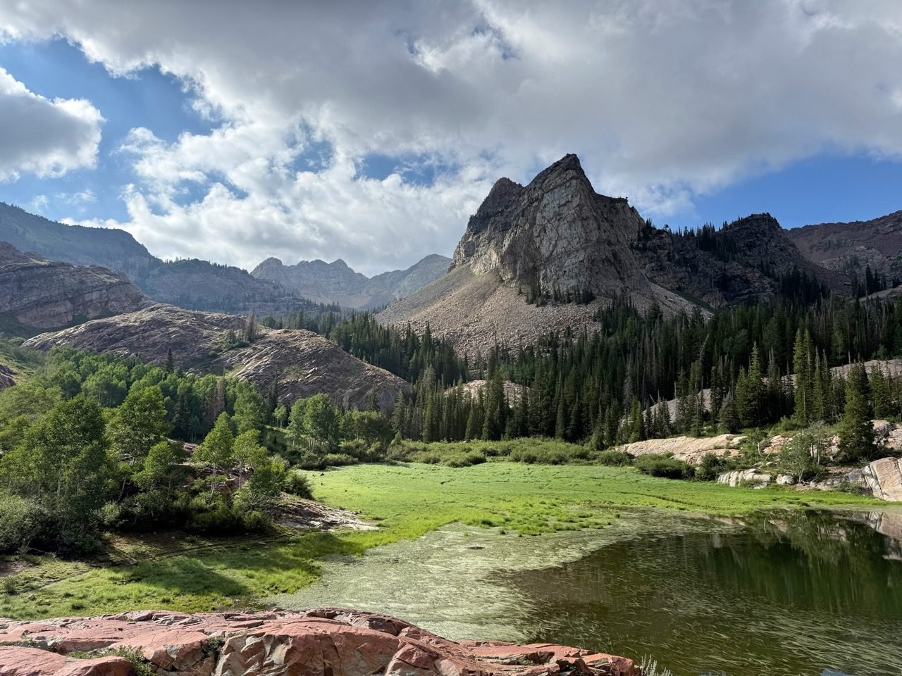
Lake Blanche
Short for its category and steep because of it — you gain a lot of feet in not many miles. The reward is one of the most photographed views in Utah: Sundial Peak reflected in the lake, framed by red quartzite slabs that make the perfect place to collapse and eat a sandwich.
05 — Provo
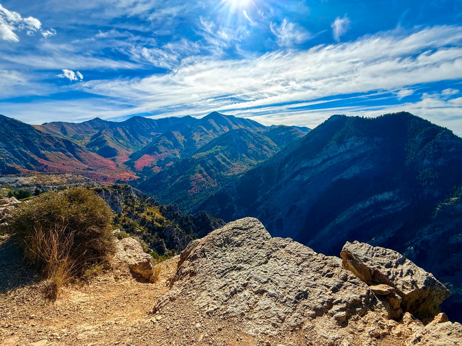
Kyhv Peak
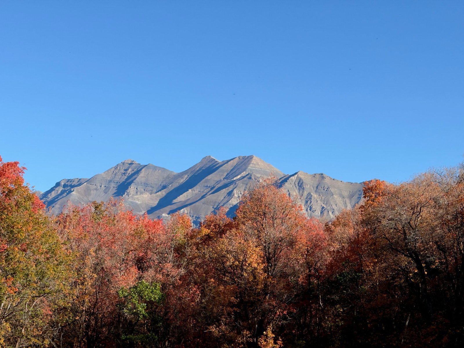
The biggest climb in this guide, and it doesn’t ease you into it. The trail works steadily up from the Provo foothills through oak and maple (gorgeous in fall) toward the rocky summit you’ve probably seen from the freeway a hundred times. At the top, all of Utah Valley spreads out below you, with Utah Lake shining in the distance and Cascade and Timpanogos so close you feel like you could reach out and touch them.
06 — Little Cottonwood Canyon
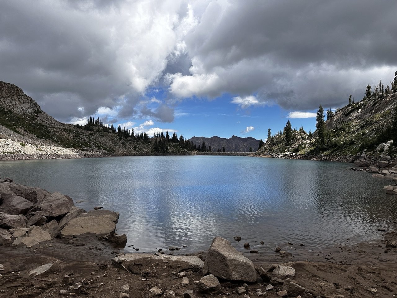
White Pine Lakes
The longest hike in this guide, but the climb is spread out over long, easy-graded switchbacks on an old mining road. It ends in a wide, rocky alpine basin with a lake that feels a world away from the busy canyon road below — a great pick if you’d rather take your elevation in longer, gentler miles.
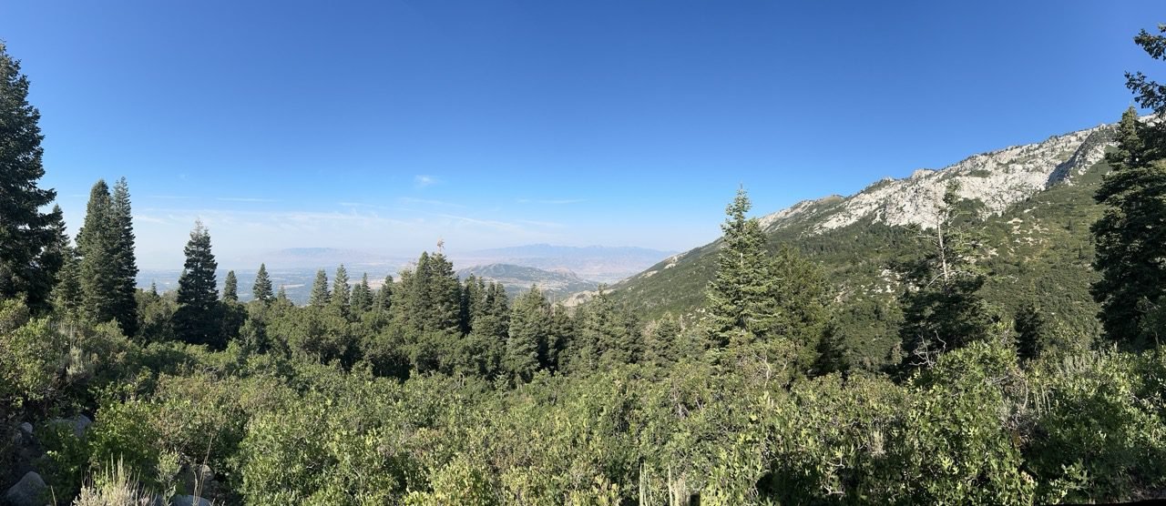 This is what you came for.
Before You Go
Good to Know
Beat the Storms
Summer afternoons in the Wasatch often bring thunderstorms, and summits and ridges are the last place you want to be when they roll in. Start early and aim to be heading down by early afternoon.
Know the Watershed Rules
Lake Blanche, Red Pine, and White Pine sit in the Cottonwood Canyons watershed — no dogs allowed, and no swimming in the lakes. Leave the pup home for these three.
Pack for a Full Day
Plan on at least two to three liters of water, real food, a warm layer for the top, sunscreen, and a headlamp just in case. It’s always colder and windier at the lake than at the car.
Save Something for the Descent
Two thousand-plus feet down is hard on knees and quads. Trekking poles help a lot, and a slower, steady pace on the way down keeps the day fun until the very end.
Ready for the Top Tier?
If these left you hungry for more, the final level is for the long, steep, all-day adventures — the ones that earn you serious bragging rights.
And if you’d rather ease back into it, the “A Real Workout” trails still deliver big views with a little less climbing.