
Pleasantly Challenging — Moderate Hikes in the Wasatch
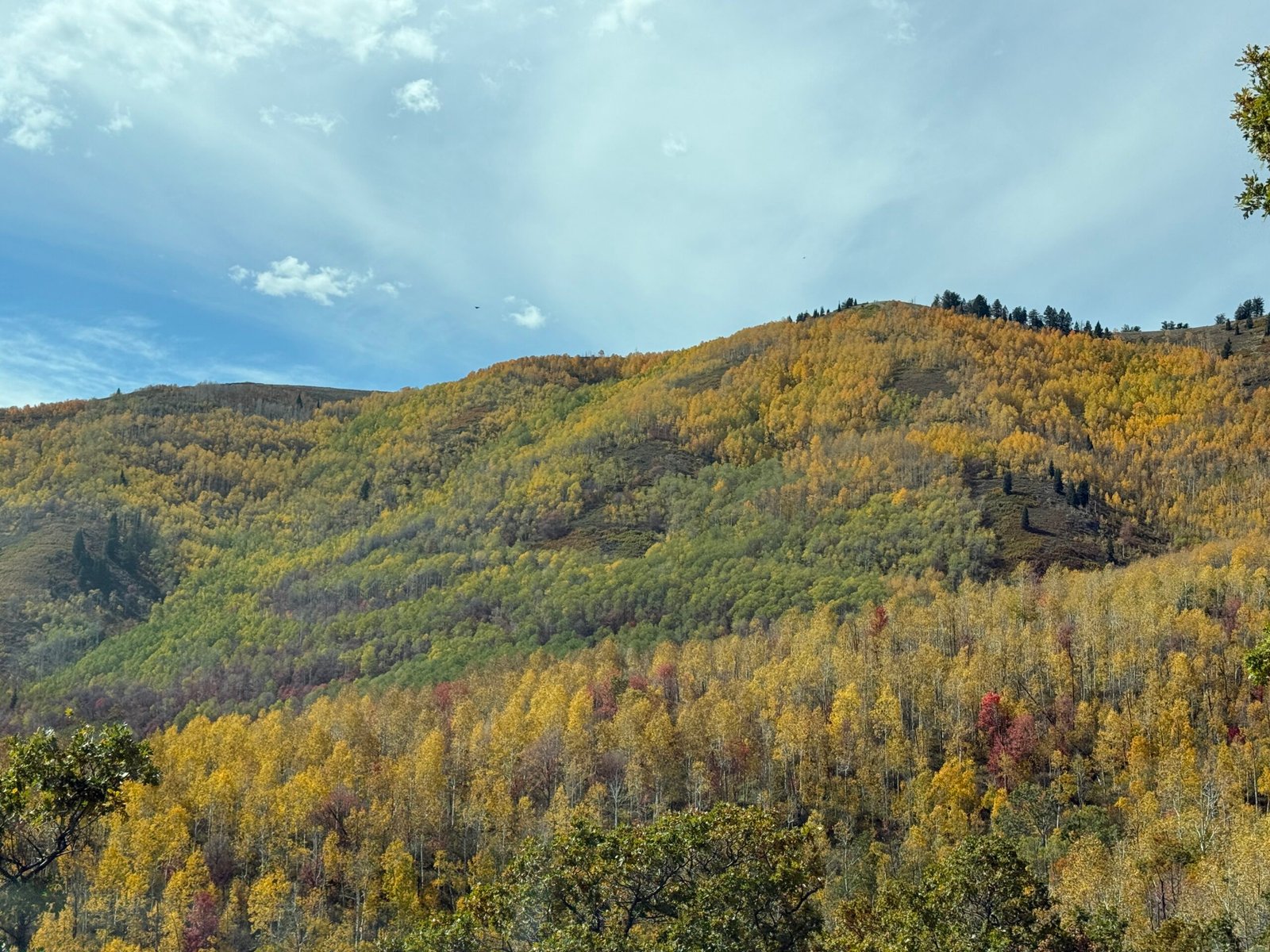
Fall colors on the mountainsides of the Wasatch

Wasatch Mountains · Moderate Trails

Pleasantly Challenging

Enough of a climb to feel good about it, with plenty of spots to catch your breath and take it in.

Level 3 of 6 · Moderate

This is the sweet spot of Wasatch hiking — trails with a real climb and a real reward, but short enough that you’re back at the car by lunch. Waterfalls, alpine lakes, aspen groves, and a couple of famous hillside letters, all within an easy drive of the Wasatch Front.

If you can walk a few miles and handle some uphill with breaks, you can do every hike on this list. Older kids, weekend walkers, and visitors still adjusting to the altitude will all do fine — just take your time on the steep parts.

11

Trails in This Guide

Eleven Happy Climbs

From Salt Lake City’s foothills and Little Cottonwood to Provo Canyon and the Alpine Loop — plenty of choices no matter which end of the valley you’re on.

2–4.5

Miles Round Trip

A Morning, Not a Day

Most take between one and two and a half hours — easy to fit around a nap schedule or a late breakfast.

600–1,255

Feet of Elevation Gain

Up, With Breathers

Enough climb to get your heart going, with flatter stretches and viewpoints built in along the way.

✦ ✦ ✦

Eleven Trails Worth the Climb

Distances and elevation gain are round-trip figures. Times are a comfortable moving pace with a few stops — adjust for little legs, big dogs, and long photo breaks. For trails that require a parking pass, the America the Beautiful Pass is accepted.
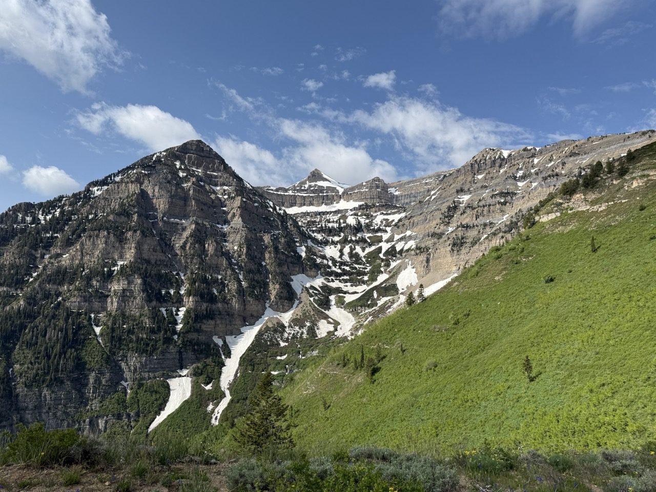
View of Mount Timpanogos from Primrose Point in spring

01 — American Fork Canyon

Primrose Point

3.1Miles
787Ft Gain
~1.75Hours
📍 American Fork Canyon 🅿️ Parking pass 💡 Big Timp views

Look this one up and you’ll find it called “Primrose Overlook” — but a trail this lovely deserves a name Anne of Green Gables would approve of, so Primrose Point it is. The path winds up through aspen groves to a viewpoint facing the north side of Mount Timpanogos, and when the mountain comes into full view at the end, we dare you not to gasp. It’s a fairly short hike with an enormous payoff.
This is hands-down the favorite hike for my hiking partner (my sister, Allison) and me. In mid-June, waterfalls spill down all over the Aspen Grove valley, and by late September the fall leaves paint the mountainside in colors that go straight to your soul. Fair warning: there’s one extremely steep quarter-mile stretch. Take it slow, but don’t give up — the view is worth every step.
View on AllTrails →
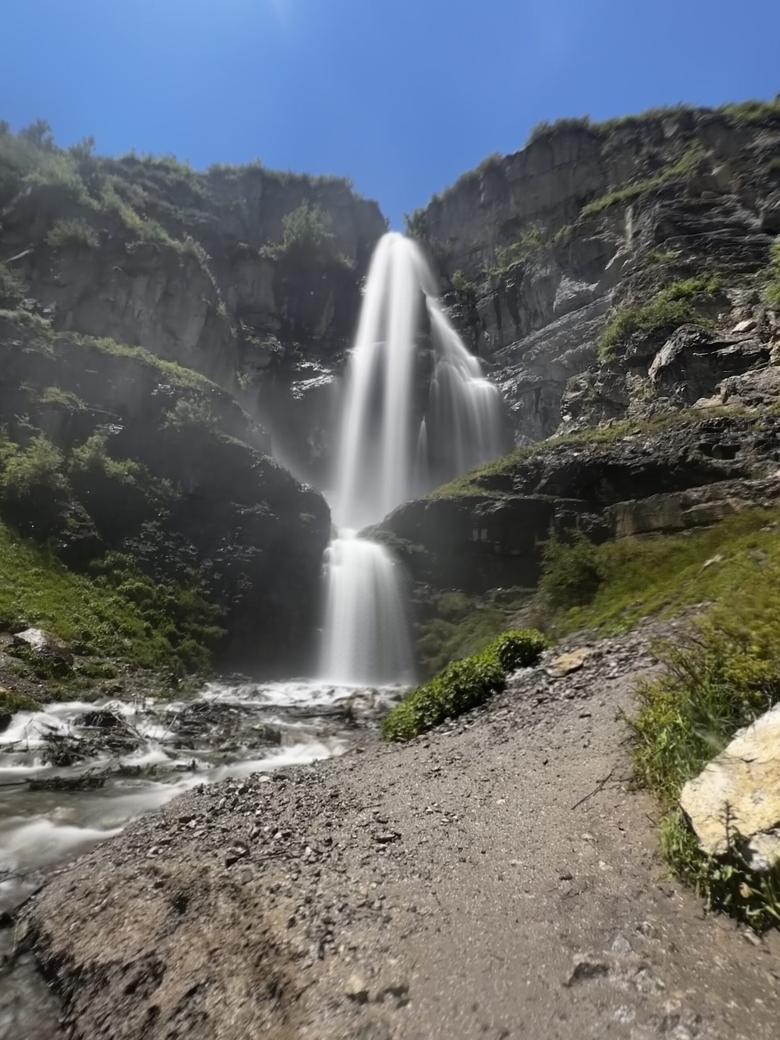
Two-tiered Stewart Falls on the east face of Mount Timpanogos

02 — Sundance / Aspen Grove

Stewart Falls

3.2Miles
830Ft Gain
~1.75Hours
📍 Aspen Grove Trailhead 🅿️ Parking pass 💡 Popular — go early

A rolling trail through aspens to a tall, two-tiered waterfall pouring off the east face of Timpanogos. It’s one of the most-loved hikes in Utah County, and seeing the falls up close makes it obvious why.
This hike is popular year-round, so don’t expect to have it to yourself. In winter, you can do it in snowshoes or spikes — just check the Utah Avalanche Center forecast before you go, and watch for avalanche danger, especially after a big storm. The trail rolls up and down the whole way, but the falls are worth every bit of it. Spring brings the falls at their fullest, but any time of year, you’re in for a treat.
View on AllTrails →
Scout Falls spilling down a rock face in American Fork Canyon

03 — American Fork Canyon

Scout Falls

2.8Miles
833Ft Gain
~1.5Hours
📍 Timpooneke Trailhead 🅿️ Parking pass 💡 Best flow in late spring 🐕 Dog friendly

Follows the first stretch of the Timpooneke route up Mount Timpanogos to a waterfall spilling down a rock face. A taste of the big mountain without committing to the summit.
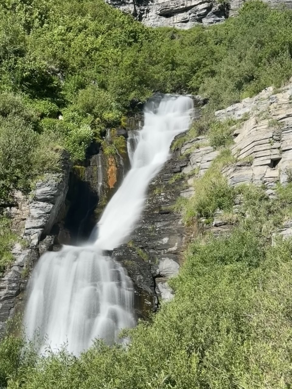
Scout Falls happens to be the favorite hike of my dog, Scout. In all seriousness, it’s a beautiful trail that dogs genuinely enjoy. Most of the year, little waterfalls trickle along the way to the main show. This is the same trail that leads to the Timpanogos summit, so keep an eye on your mileage — at about 1.5 miles, look for an unsigned path splitting off to the left toward the falls. Near the end, you’ll scramble over some giant tree roots to reach them — but it’s doable, even for a dog.
View on AllTrails →
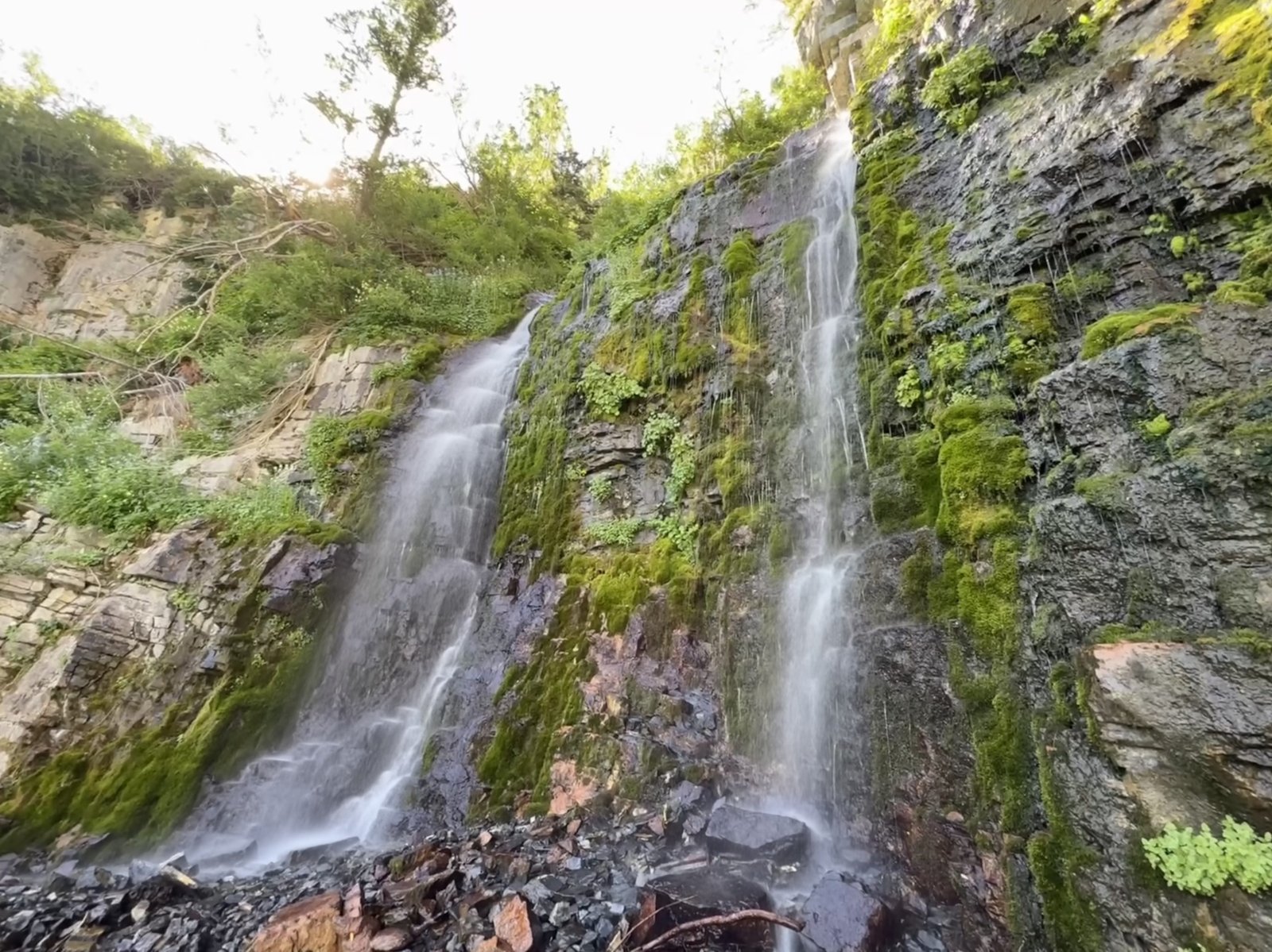
Timpanogos Falls along the Aspen Grove trail

04 — Sundance / Aspen Grove

Timpanogos Falls

2Miles
600Ft Gain
~1.25Hours
📍 Aspen Grove Trailhead 🅿️ Parking pass 💡 Gentlest climb on the list

One of the shortest hikes in this group and a great first step up from the family-friendly trails — just know it’s still a bit of a climb. Waterfalls tumble off the cliffs above you as you go, with Timpanogos towering overhead, and the falls themselves are absolutely stunning. A quick trip with a big reward.
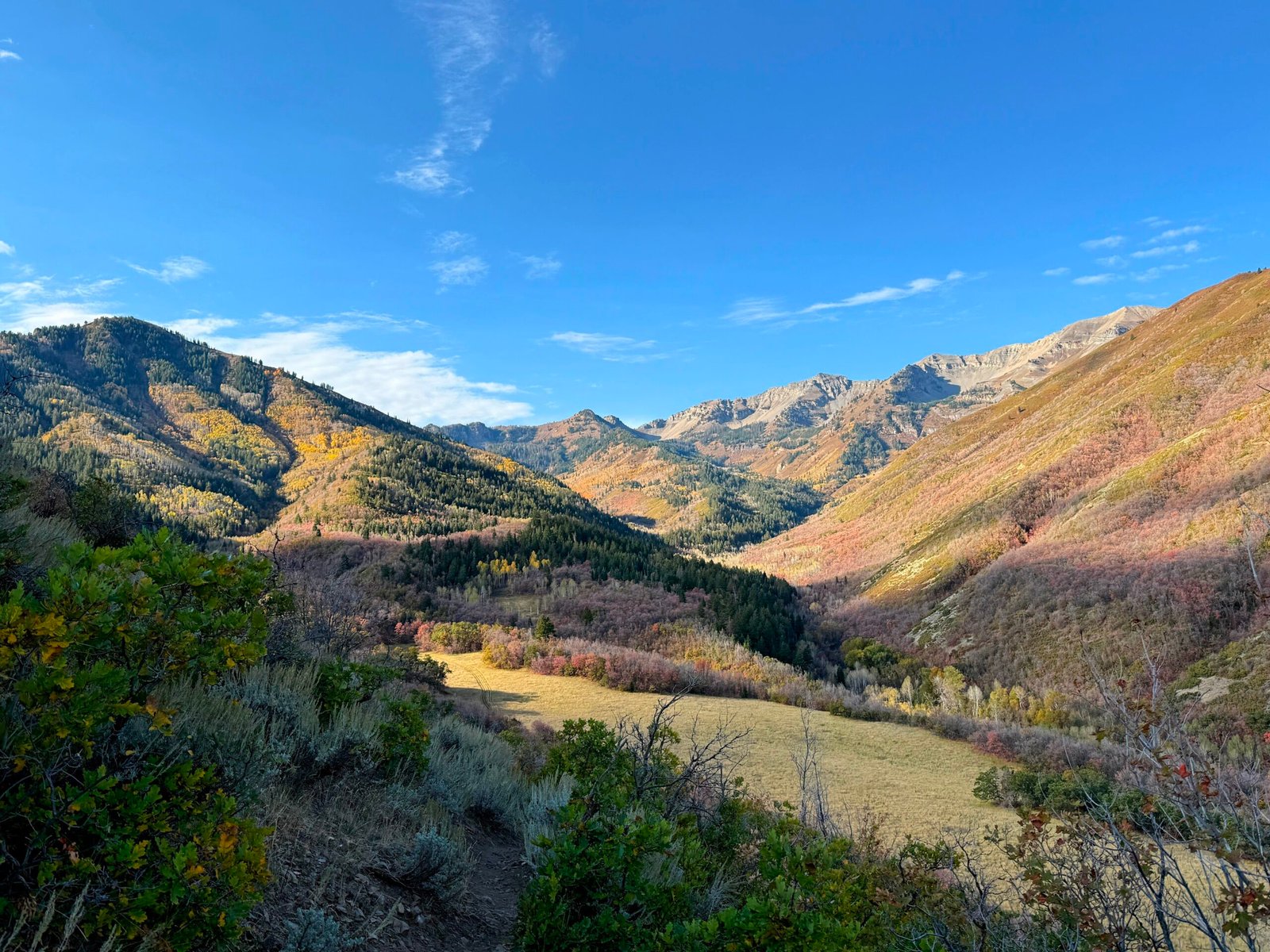
This one often gets overlooked thanks to the popularity (and sheer size) of nearby Stewart Falls, but it’s honestly one of my favorite waterfalls in the area. It’s a quick hike with decent elevation gain, yet very doable. The falls sit along the Aspen Grove route to the Timpanogos summit, and the views the whole way up are just as lovely as the falls themselves.
View on AllTrails →
Fall color along the Big Springs Hollow Loop in Provo Canyon

05 — Provo Canyon / South Fork

Big Springs Hollow Loop

4Miles
900Ft Gain
~2Hours
📍 South Fork, Provo Canyon 💡 Gorgeous in fall color

A quiet side-canyon loop that follows a creek through aspens and pines up toward the back side of Cascade Mountain, with sweeping views of Timpanogos. The climb is gradual enough to chat the whole time, and the reward is a string of peaceful meadows ringed by peaks. You can hike the loop in either direction — the elevation gain is about the same, though counterclockwise climbs a little more. Go clockwise for the best views, looking straight into the folds of the mountains above Provo as you go.
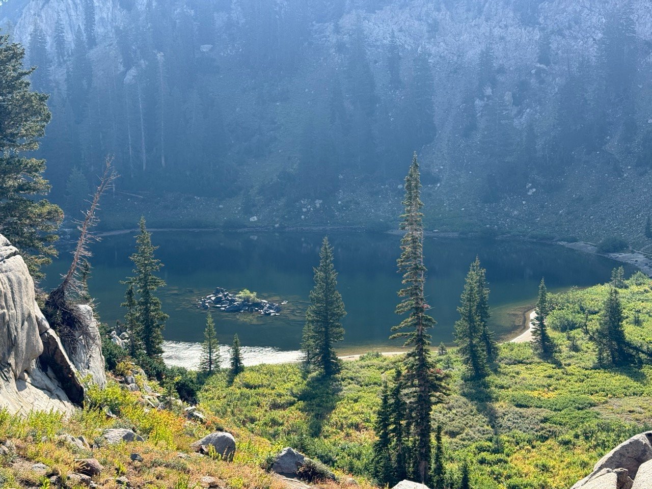
A tale of two trails: this loop is gorgeous, but side paths branch off the main trail all over the place, and there are very few markers to tell you which way to go. Bring someone who knows the route well, or keep AllTrails open as your guide. It’s well worth the effort, especially in the fall — just don’t head out without a way to stay on track.
View on AllTrails →
Lake Catherine tucked beneath the ridge above Brighton

06 — Big Cottonwood Canyon

Lake Catherine

4Miles
1,115Ft Gain
~2.25Hours
📍 Brighton, Big Cottonwood Canyon 💡 Snow lingers into early summer

One of the bigger climbs on this list, starting at Brighton and passing Lake Mary and Lake Martha on the way up. Three alpine lakes for one hike, with Catherine tucked highest beneath the ridge. This three-lake hike can end at Lake Catherine, or you can go the extra mile to Sunset Peak for unbelievable views.
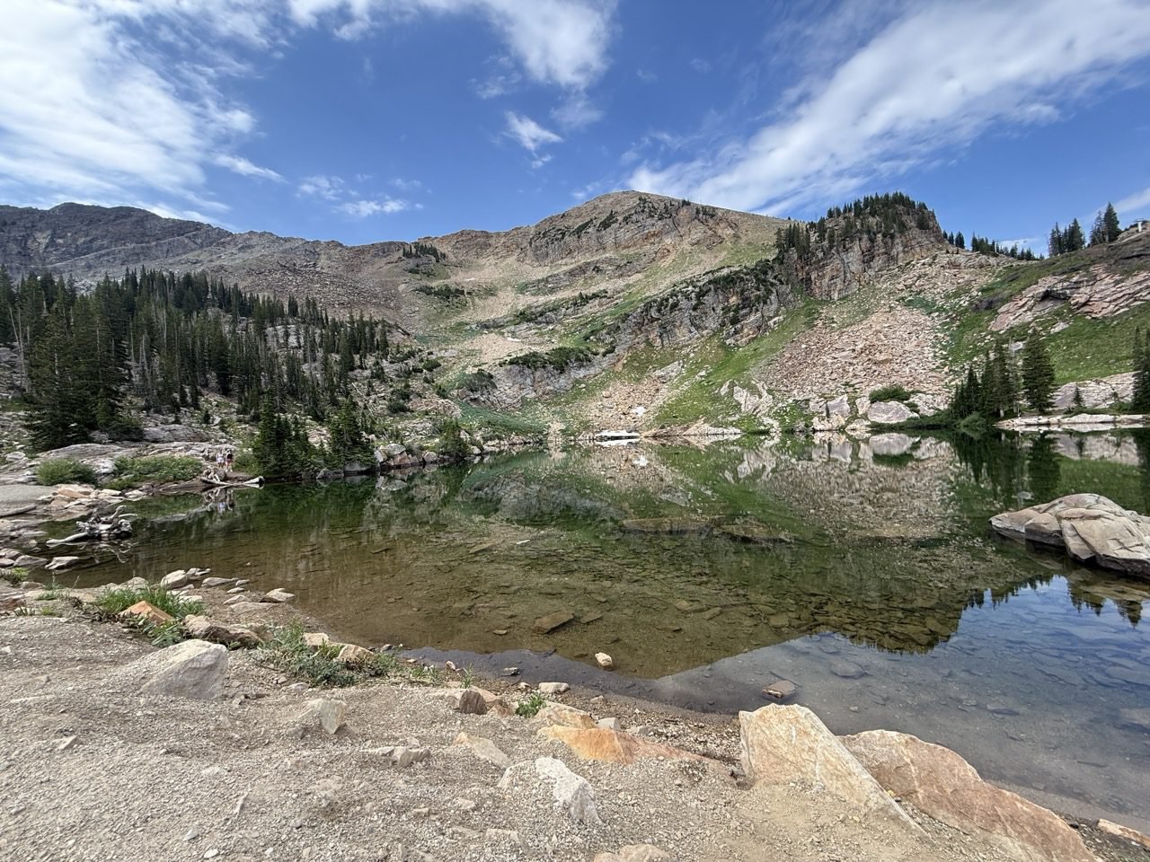
Lake Mary, Lake Martha, and Lake Catherine are each beautiful in their own right. Most people stop at Lake Mary, so once you push on toward Martha and Catherine, the crowds fall away and you’ll have the scenery practically to yourself. The climb to Lake Mary is the steep part; after that the trail levels out, so the extra mile isn’t nearly as tough as it sounds. If you have the time, it’s absolutely worth it — the quiet and the views up there are hard to beat.
View on AllTrails →
Wildflowers in Albion Basin on the way to Cecret Lake

07 — Little Cottonwood Canyon

Cecret Lake

4.5Miles
1,255Ft Gain
~2.25Hours
📍 Alta, Little Cottonwood Canyon 💡 Peak wildflowers in midsummer

Albion Basin is wildflower central, and this trail runs right through the heart of it. Starting down at Alta turns a short stroll into a proper hike, climbing through meadows bursting with color to a small alpine lake tucked beneath the peaks of Little Cottonwood.
Going during wildflower season and starting at the Alta parking lot instead of the regular trailhead is a must. It adds extra mileage and quite a bit of extra elevation, but I promise it’s worth the effort. As you wander through the fields of flowers, you may find yourself with the urge to break into “The Hills Are Alive.”
View on AllTrails →
Paved trail switchbacking up to Timpanogos Cave

08 — American Fork Canyon

Timpanogos Cave

3Miles
1,000Ft Gain
~1Hours

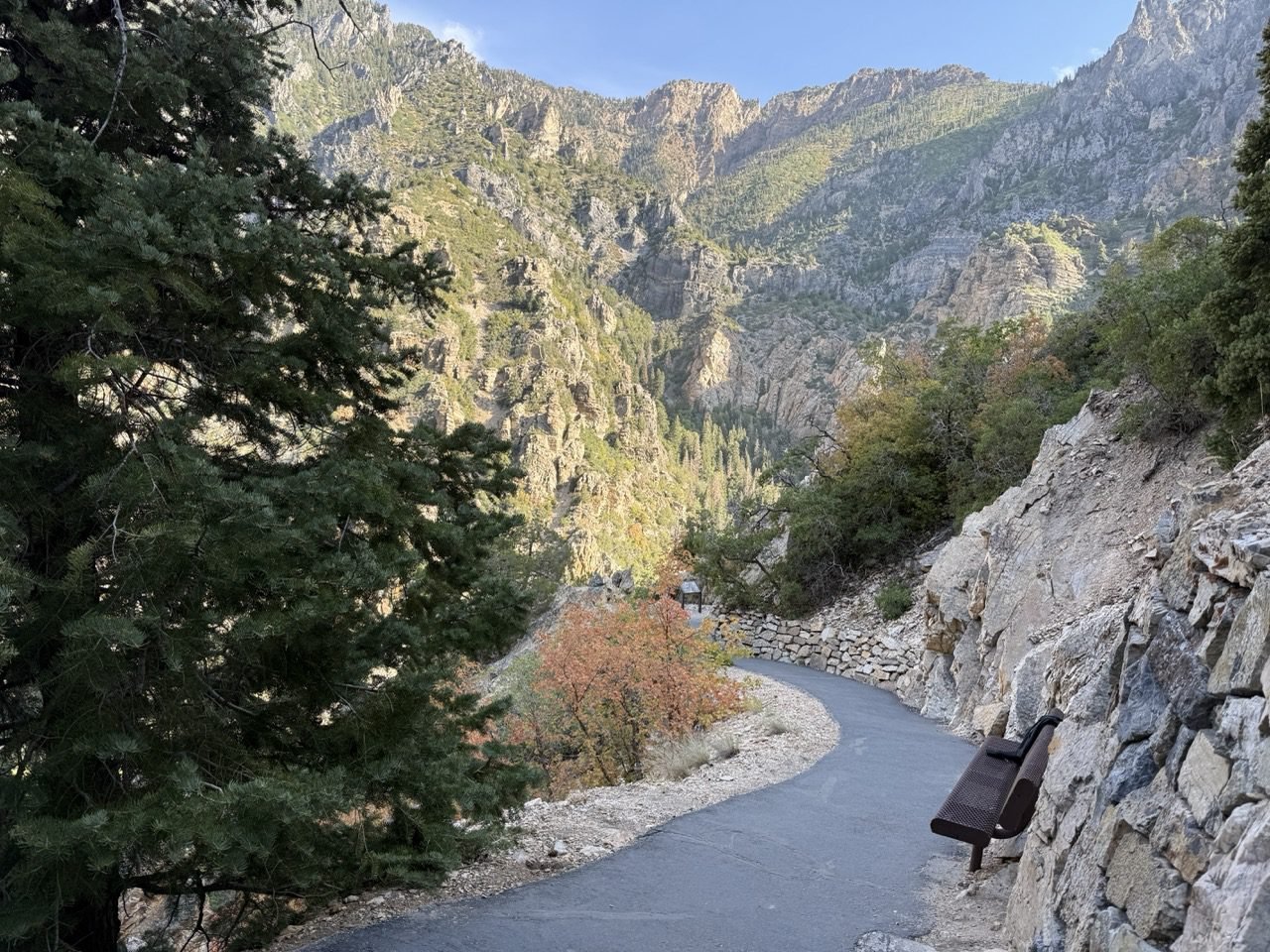
A paved but steep trail switchbacks up the canyon wall to the entrance of Timpanogos Cave. It’s the kind of climb that’ll have you questioning your life choices for a few minutes — but the paid guided tour through the cave makes it well worth the effort.
Something interesting about the Timp Cave trail: it’s a favorite with locals who hike it daily or weekly for exercise, since it’s a great way to get in cardio and leg day with an incredible view. The community of regular hikers here is unlike any you’ve seen, and it isn’t uncommon to see people stopping to chat with their trail friends. The paved path makes this kind of elevation easier to tackle, and there are benches along the way for anyone who wants a break.
View on AllTrails →
The G above Pleasant Grove overlooking Utah Valley

09 — Pleasant Grove Mountain

The G

2Miles
807Ft Gain
~1.25Hours
📍 Pleasant Grove foothills 💡 No shade — go early or late

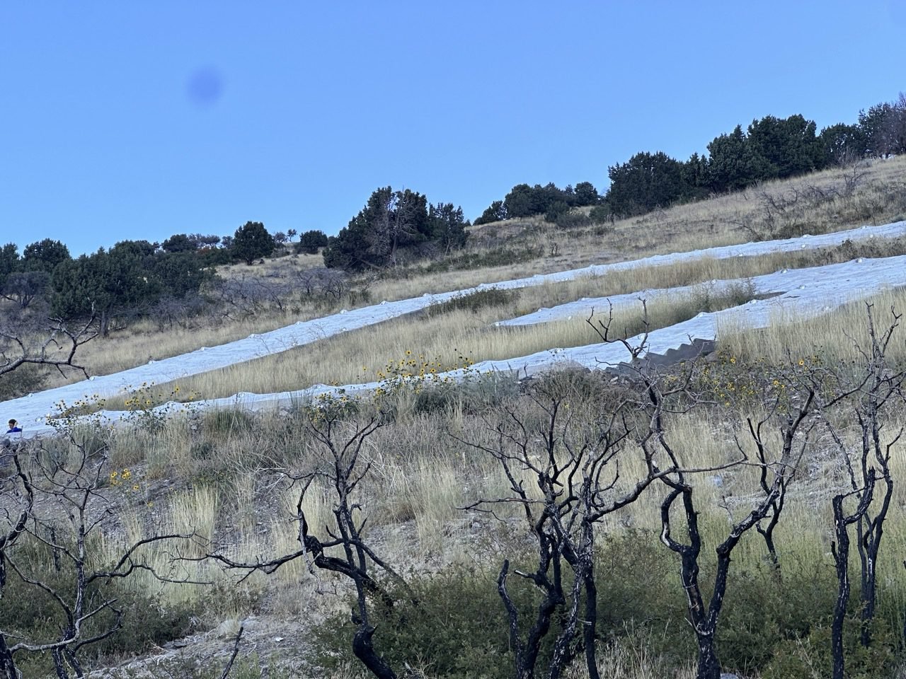
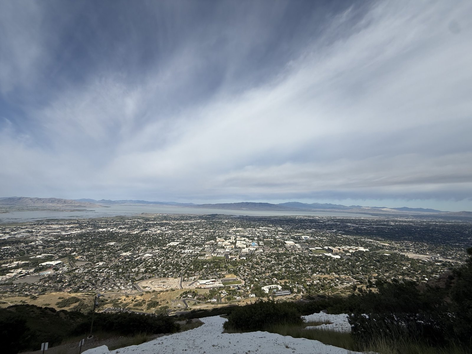
Switchbacks up the foothills to the big letter above Pleasant Grove, with wide-open views across Utah Valley and Utah Lake. Short enough for an after-work hike, pretty enough to linger for sunset. The slope faces west with zero shade, so keep an eye out for rattlesnakes sunning themselves on the trail. Coyotes have been spotted in the area too, but they’re far more afraid of you than you are of them.
You’ll pick up this trail from the same trailhead as Battle Creek Falls — just head left. It’s steep in spots and exposed most of the way, and while the view from the G is nice, I’ll be honest: it’s an okay hike, but not one of my favorites. I think there are better hikes out there for the effort and the views.
View on AllTrails →
Stone chairs at the Living Room overlooking the Salt Lake Valley

10 — Salt Lake City

The Living Room

2.4Miles
991Ft Gain
~1.5Hours
📍 Foothills above the U of U 💡 Bring a headlamp for sunset

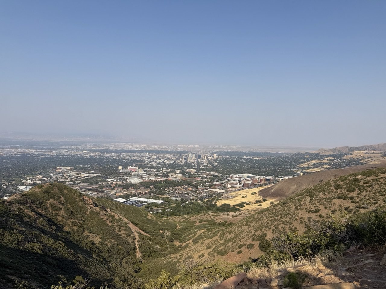
A short, steep climb in the foothills above the University of Utah to a hilltop “living room” of flat stone chairs and couches, all facing the Salt Lake Valley. Sunset here is a local tradition.
This is a popular spot in the Salt Lake foothills. The trail is dry and exposed, so watch for rattlesnakes along the way. The view of the Salt Lake Valley from the top is pretty decent, and it’s a fine hike — it just doesn’t crack my list of favorites.
View on AllTrails →
View over Utah Valley from the Y above Provo

11 — Provo

The Y

2.2Miles
1,092Ft Gain
~1.75Hours
📍 Y Mountain Trailhead, Provo 💡 Go early — zero shade

A series of switchbacks straight up the hillside to the big white block letter above BYU. It’s the steepest trail on this list for its length, with a sweeping view over Utah Valley as the reward.
This hike is a rite of passage for any BYU fan — and it’s popular, so be ready to share the trail. Sitting right on the front face of the mountain, it’s exposed, hot, and a favorite hangout for rattlesnakes, so go early in the day or save it for spring or fall. You’ll pack a lot of elevation into a short distance, and the switchbacks can feel never-ending. But the views are lovely, and there’s something fun about looking up at the Y from the valley afterward, knowing you’ve stood right next to it.
View on AllTrails →
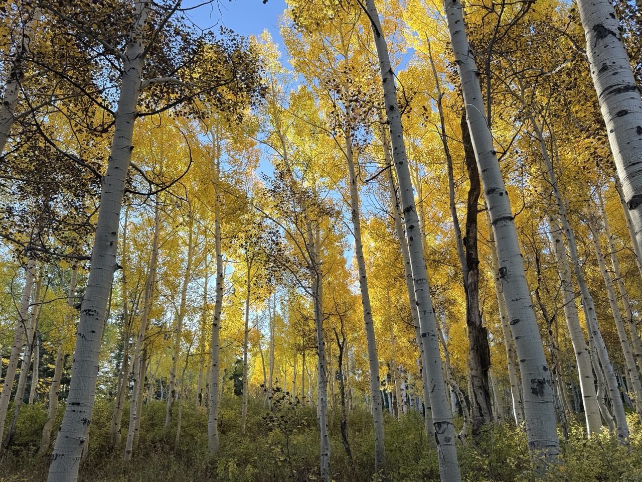
Aspen grove in the Wasatch Mountains Catch your breath. Take it in.

Good to Know

🌅

Start Early

Trailheads like Stewart Falls and the Y fill fast on summer weekends, and the foothill hikes have little shade. An early start gets you a parking spot, cooler air, and a quieter trail.

🍂

Watch the Season

The Alpine Loop road closes for winter, which cuts off access to several of these trailheads. Fall is a gorgeous time to go — just check road status before you head up the canyon.

🎟️

Fees & Tickets

American Fork Canyon and the Aspen Grove Trailhead charge a recreation fee, and Timpanogos Cave tours require a timed ticket that often sells out. Reserve ahead and check current rules before you go.

💧

Pack Water & Layers

Even short climbs at Wasatch elevation are thirsty work. Bring more water than you think you need, plus a light layer — it’s cooler at the lakes and waterfalls than at the trailhead.
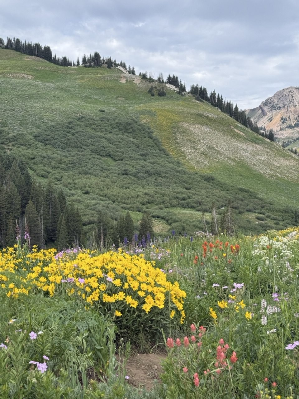
Albion Basin in Little Cottonwood Canyon

Ready for a Bigger Climb?

When these start to feel easy, the next tier up adds steeper stretches and more elevation. Check out A Real Workout for trails that ask a little more of you.

Looking for something gentler? The easier lists are full of short walks that still end somewhere beautiful.

See All Wasatch Trails →

Similar Posts